
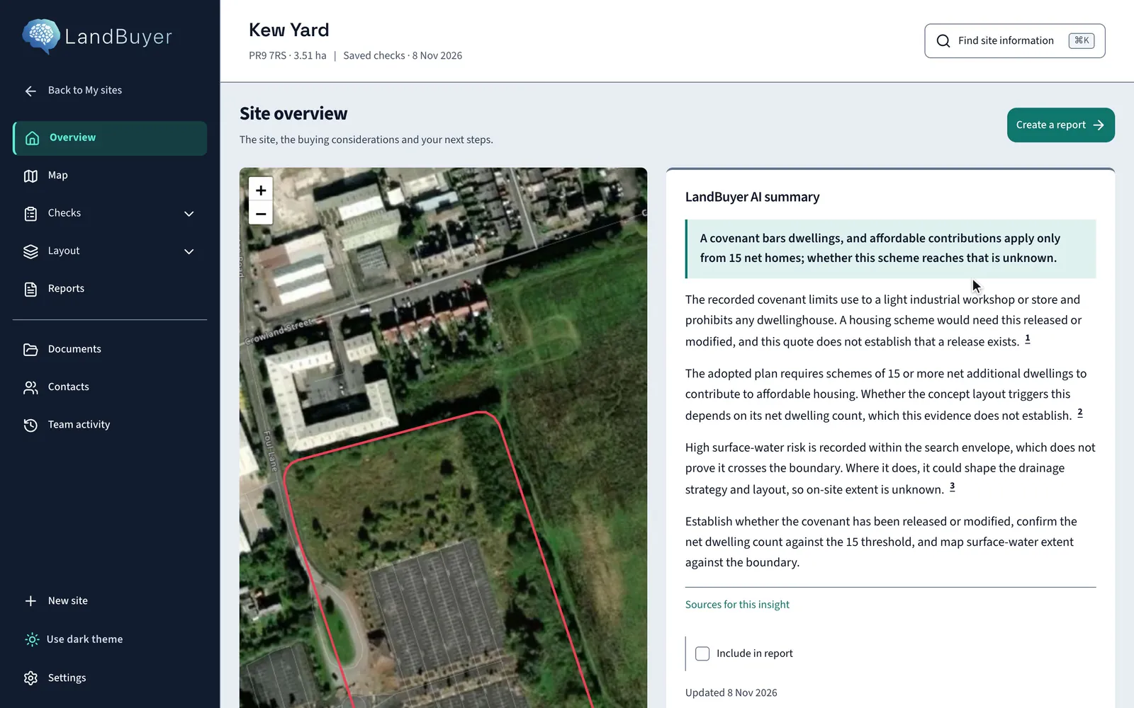
The layers
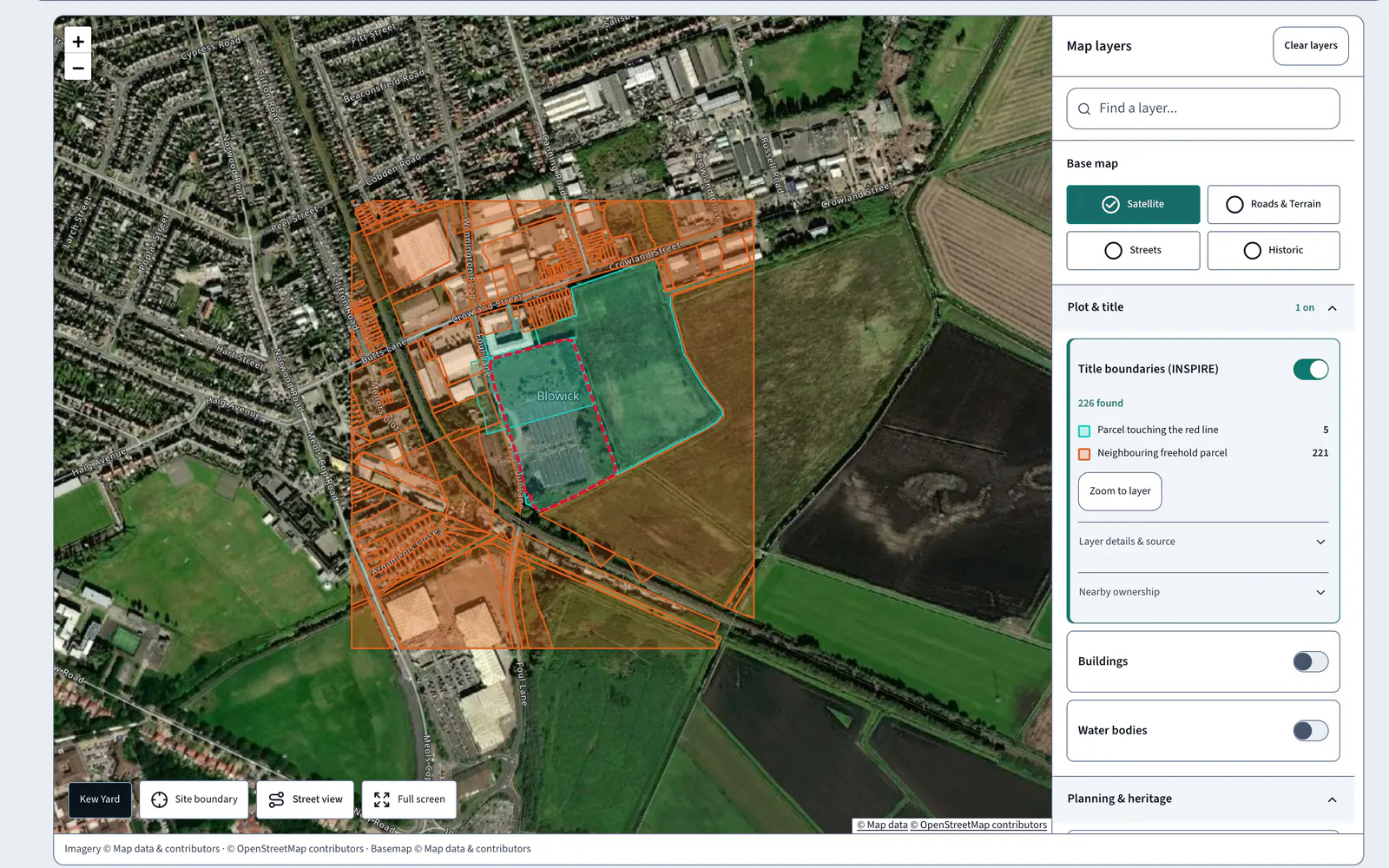
- Ownership Parcel outlines
- Constraints Layer outlines
- Layout Not covered
- Score Not covered
- Report A data export
- Contacts Not covered
AI land viability software
LandBuyer AI checks ownership, planning, constraints, ground, utilities and market for any plot in England and Wales, then drafts the report.
We call to collect the red line for your site.
Ownership, planning, constraints, ground, utilities and market.
Each finding shows its source and the date it was read.
An indicative layout from your house types.
Committee papers drafted from the saved checks.
The cost of finding out late
A prospect walked away from a site after six months and more than £100,000 spent, on a constraint nobody had seen. LandBuyer AI flagged it within minutes.
How it works
Draw the boundary of any site. Five steps take it from the map to a report your team can send the same day.
Every check
Each card below is what LandBuyer AI found on Kew Yard.
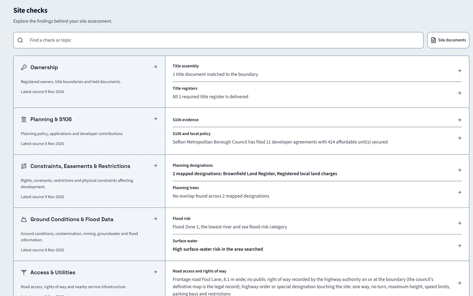
A covenant prohibits any dwellinghouse. One corporate proprietor.
Two mapped designations: the brownfield land register and registered local land charges.
A 4 metre drainage and services strip, reserved by a 2021 transfer.
Five applications within 800 m: four approved, none refused, one pending.
The authority has filed 11 developer agreements securing 424 affordable homes.
No overlap across seven mapped ecological designations.
Frontage road 8.1 m wide. No public right of way recorded at the boundary.
Electricity, gas and water operators named for the site.
A ventilation shaft 178 m from the boundary: ground investigation first.
Flood Zone 1, with high surface water risk in the search area.
One historic landfill feature within the search radius.
16 local checklist items and 6 national documents for this authority.
Affordable housing applies from 15 net homes under the adopted policy.
23 residential schemes within 15 km: 16 approved, 7 undecided.
594 neighbourhood households: 60% owned, 20% social rented, 20% private rented.
Grant delivery route identified for the affordable homes.
More than a map
Map tools stop at the outline. LandBuyer AI reads each record and says what it means for homes on the site.
Who it is for
Pick the reader and LandBuyer AI drafts the paper they send. Each cover below is real output for Kew Yard, our sample site.
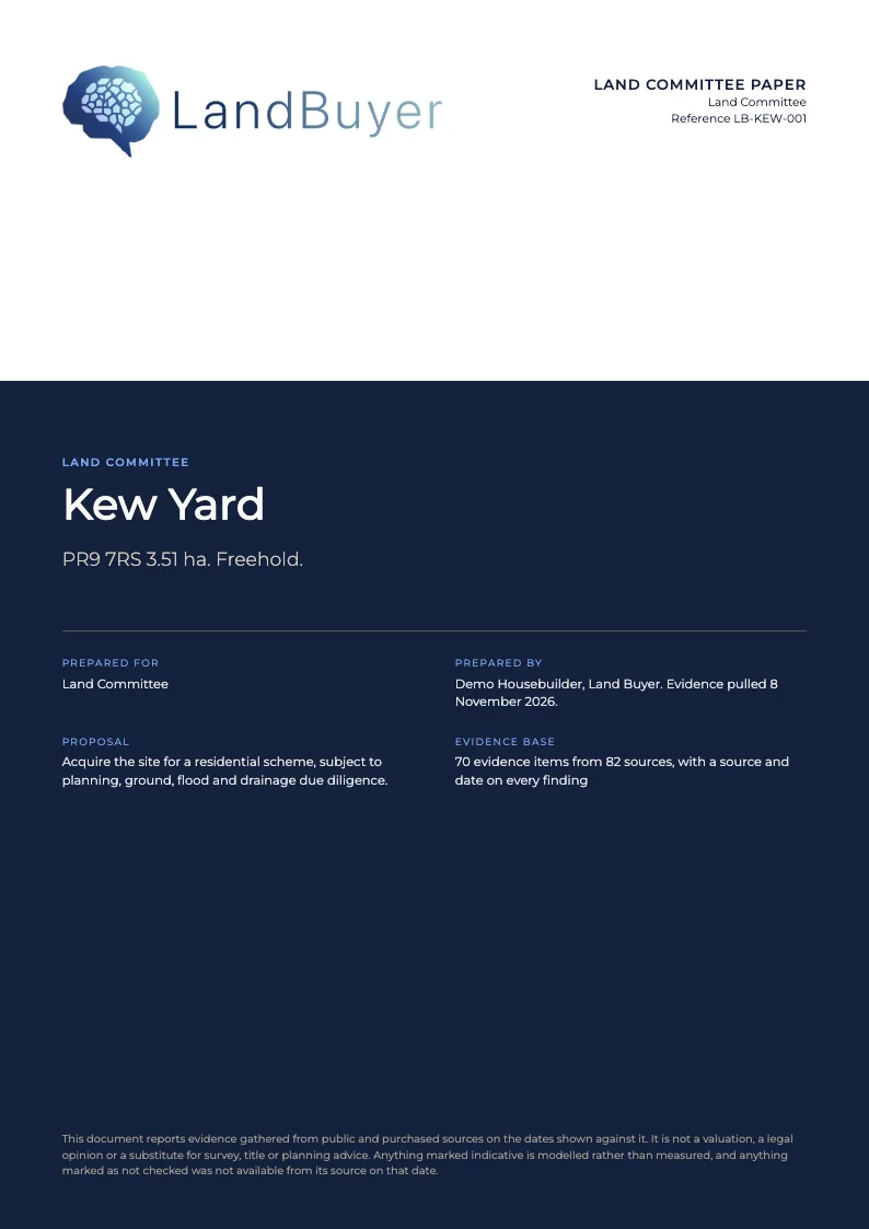
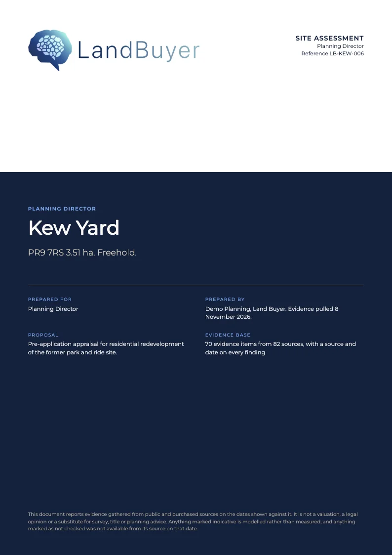
Planning, constraints and ecology appraisal, 20 pages
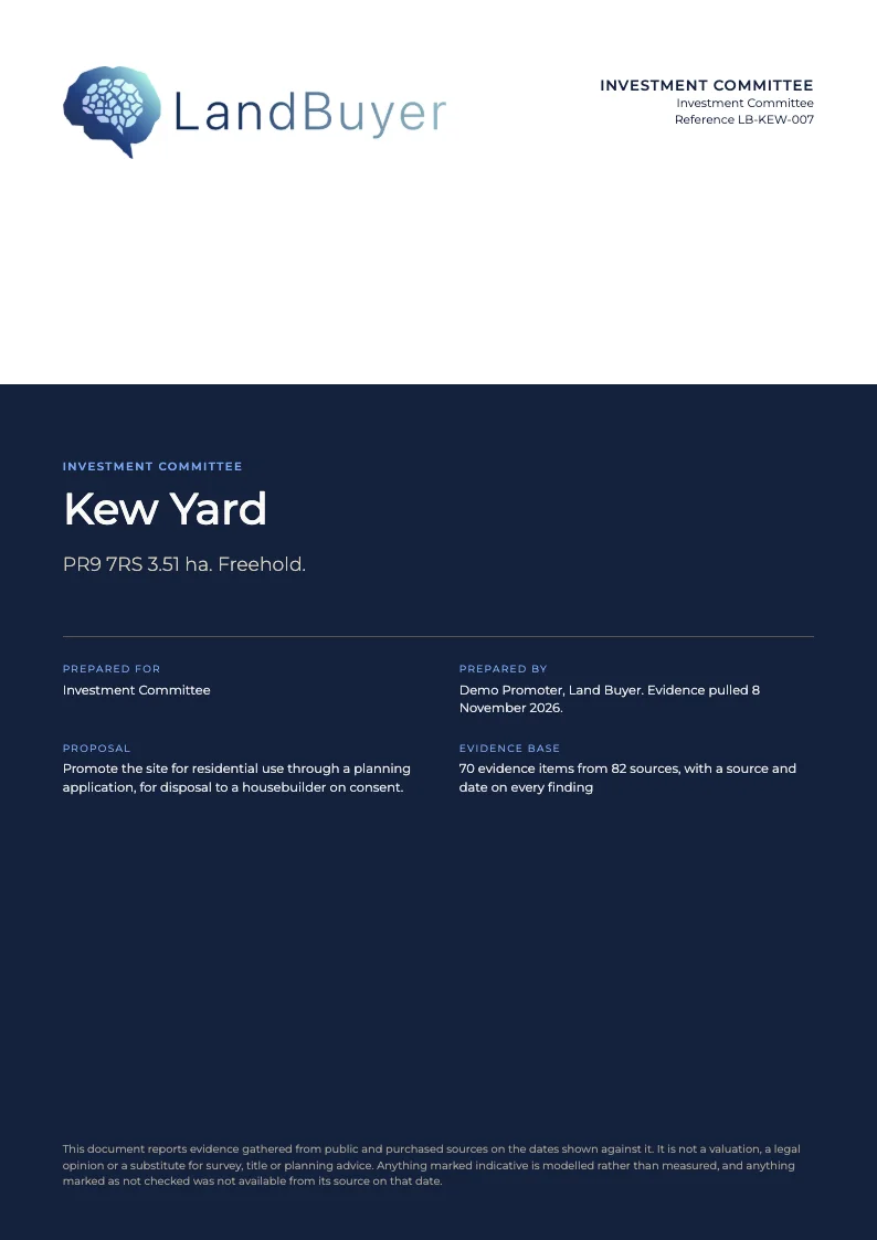
Investment committee paper, 25 pages

Board paper, 20 pages
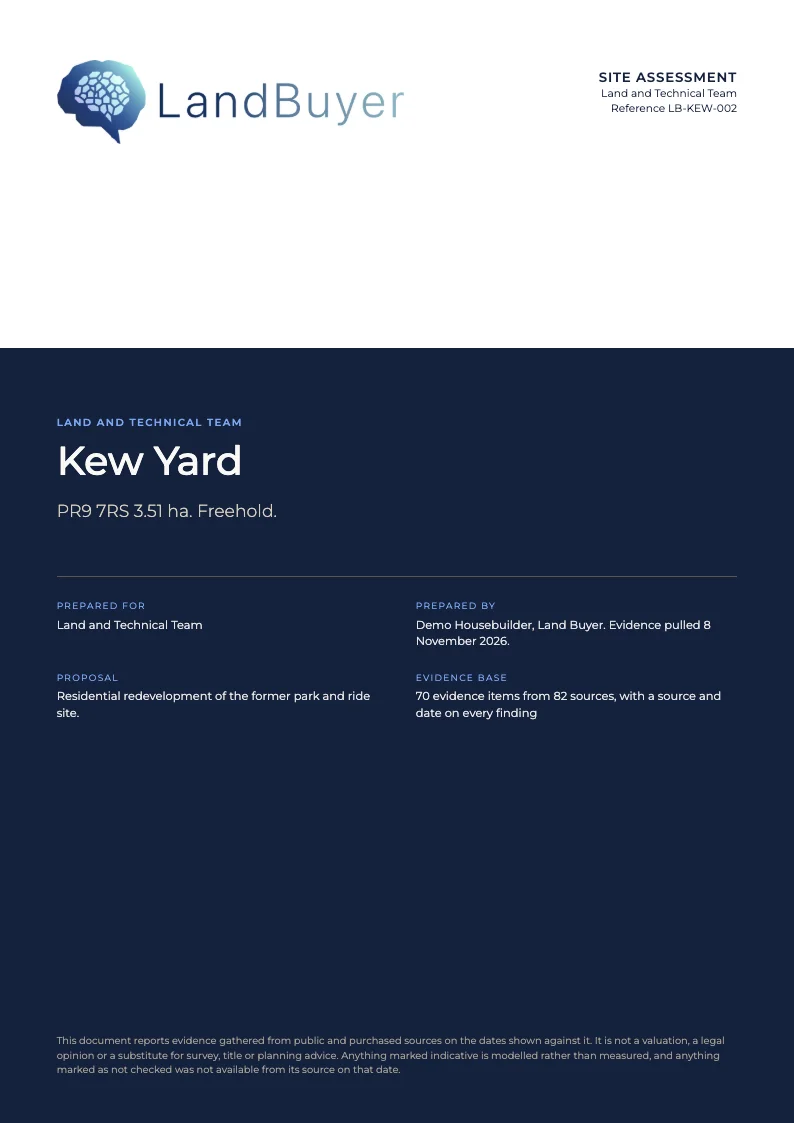
Site assessment, 11 pages
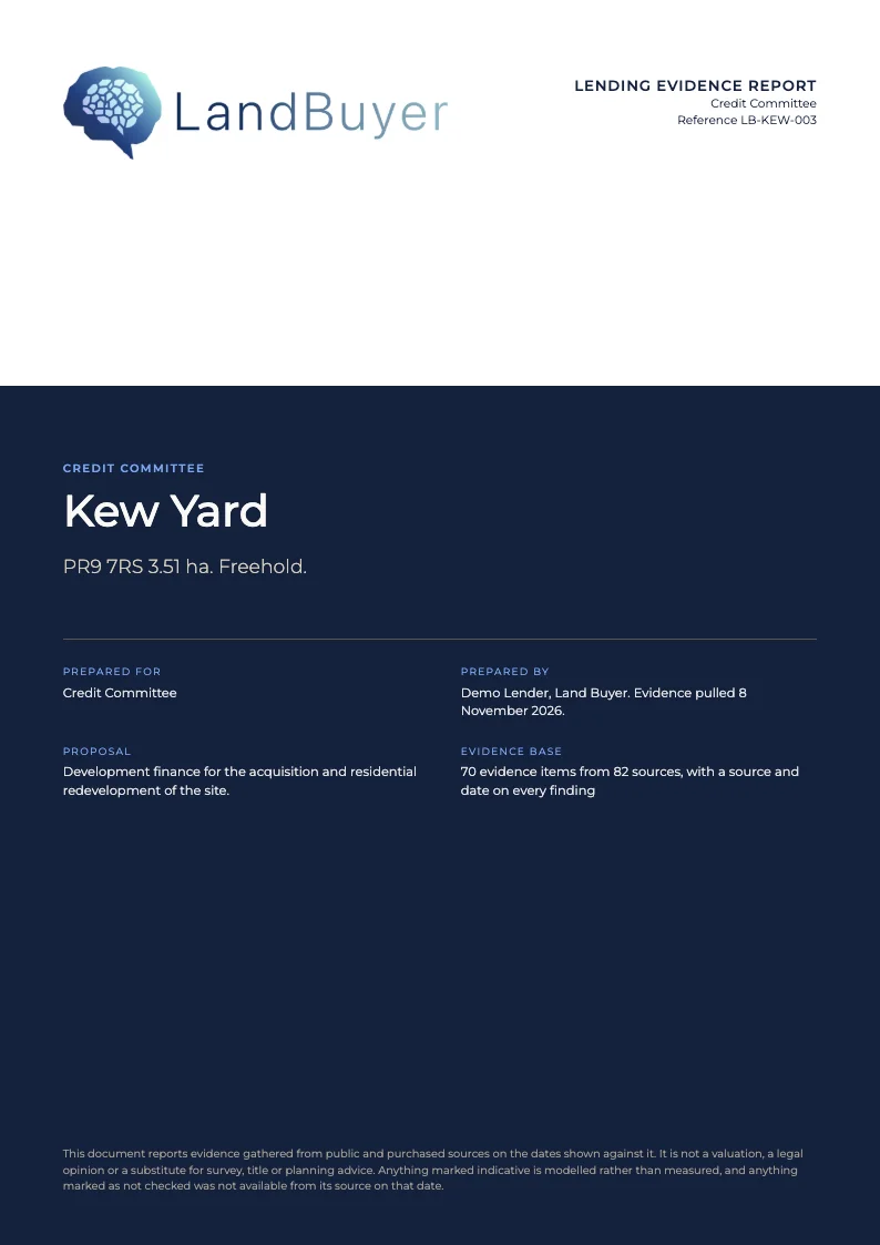
Customised for your business
Each company runs LandBuyer AI on its own server. Our developers make smaller changes for free and quote once for larger ones.
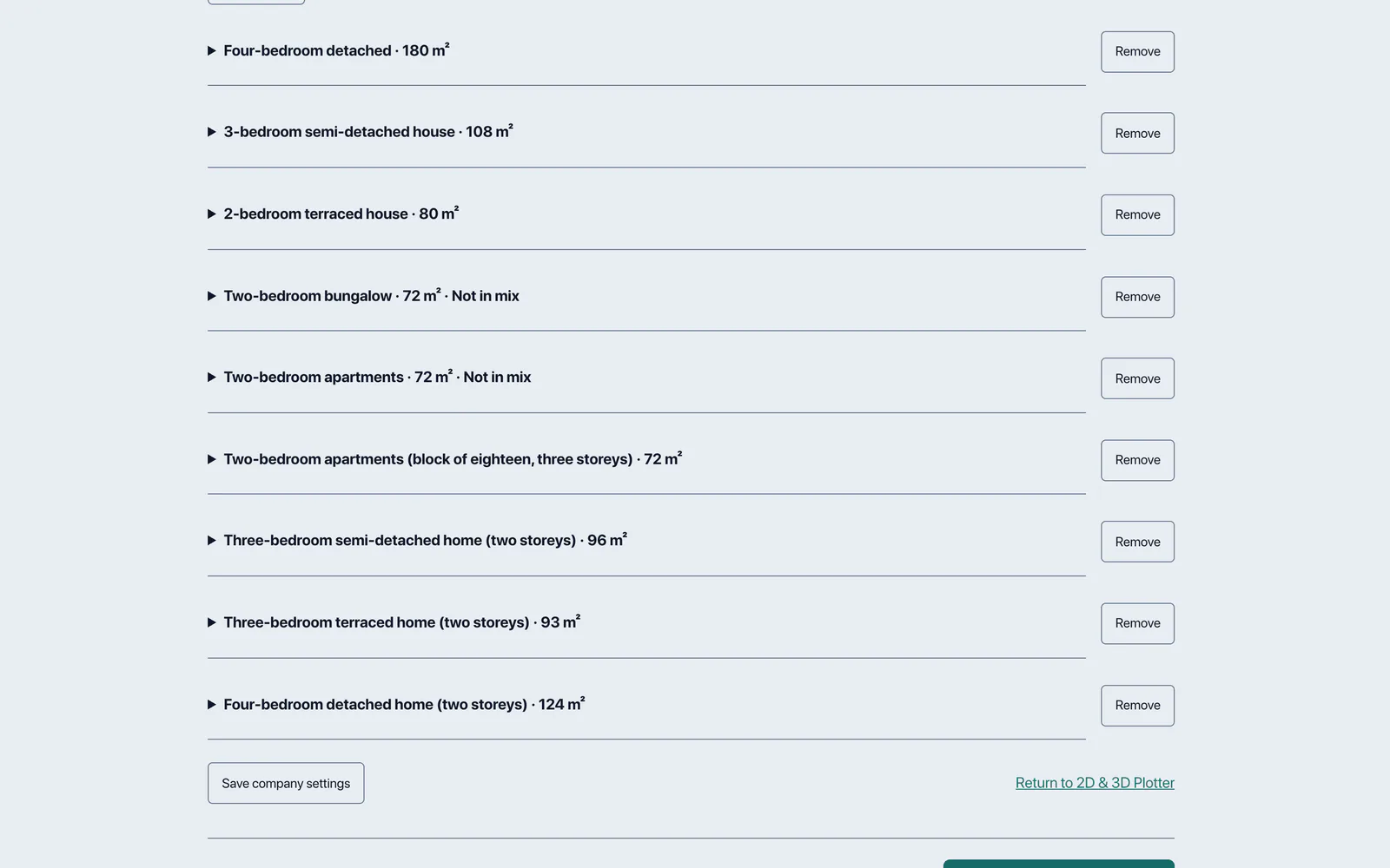
Set your brand, site specification, house library and scoring priorities.
FAQ
Short answers to what land teams ask us before a demo.
Land viability software for England and Wales. It runs the checks a land team needs on any red line, writes an AI insight for each, draws an indicative layout and drafts the report.
Title registers, government and local authority datasets, planning records and commercial data held under agreement. Every finding shows its source and the date it was read.
Fill in the form and we call you to collect the red line of a site you are working on. We then run LandBuyer AI on that site with you and walk through the result.
Each user has a seat. Some records, such as title documents, owner reveals and planning application records, use credits. We cover the figures on the call.
Book a demo
Tell us who you are. We call to collect the red line, then run LandBuyer AI on your site with you.
Thanks. We will be in touch to collect the red line for your site.