
Checks
Site access plan and highway check
See who maintains the roads at the boundary, whether a right of way crosses the site and how people reach it.
In short
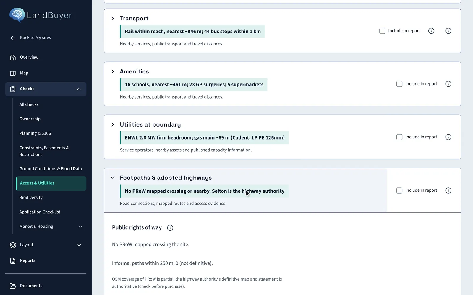
LandBuyer AI shows the highway authority and the roads maintained at public expense at the boundary, searches for public rights of way, and measures the frontage road. It adds bus stops, stations, schools and health facilities nearby. On Kew Yard no public right of way is mapped crossing or near the site.
What it covers
What our site access check covers
| Item | Source type | What you see |
|---|---|---|
| Adopted highways | Highway authority records | Which roads at the boundary are maintained at public expense, and the highway authority |
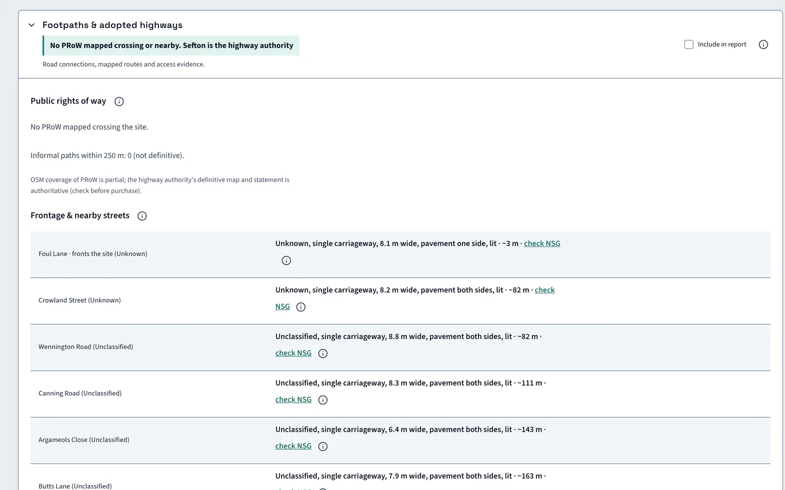
| Frontage road | Mapped road network | The width of the road along the frontage, and the nearby streets |
| Public rights of way | Mapped public paths and the definitive map | Public rights of way crossing or near the site, and informal paths within 250 m |
| Rights of access | Title registers | Rights of access in the title, which the indicative entrance on the layout must respect |
| Access routing | Mapped road network | The route from the site to the nearest named junction |
| Bus stops | Public transport stop data | Stops within 1 km, with the nearest distance |
| Rail and tram | Public transport station data | The distance from the boundary to the nearest station |
| Schools and health | Mapped amenities | Schools within 2 km, GP surgeries and the nearest health facility |
Official guidance Rights of way and open access landManual for Streets
On Kew Yard
A clear frontage and no public right of way
Kew Yard has no public right of way crossing it, and Sefton is the highway authority. The frontage road is 8.1 m wide.
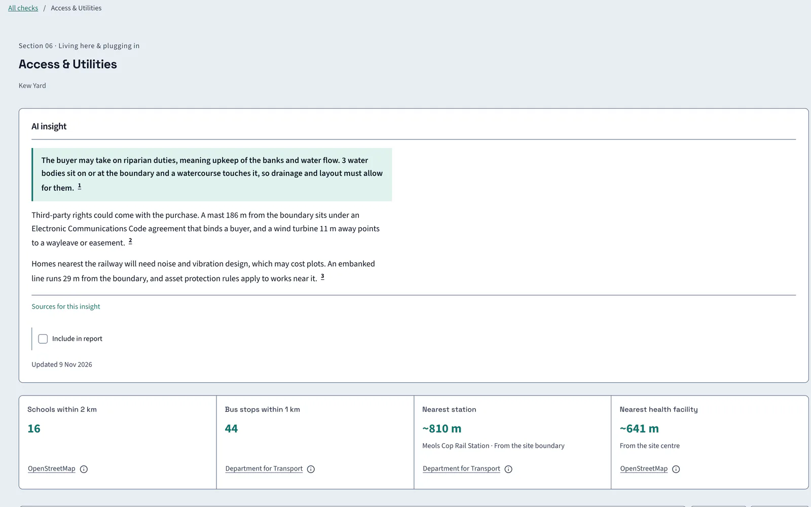
AI insight
A railway on embankment lies 29 m from the boundary, with noise, vibration and asset protection stated to apply near that edge.
In the report
Access goes into the report with its authority
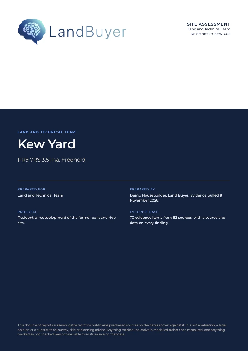
Tick Include in report on the highways card or the AI insight. The highway authority, the right of way result and the distances go into the site assessment for the land and technical team.
FAQ
Site access and highway questions
Short answers to what land teams ask us before a demo.
How do I check whether a road is adopted?
LandBuyer AI shows the highway authority and whether the roads at the boundary are maintained at public expense. On Kew Yard the highway authority is Sefton. Check before purchase against the authority's own records.
Does it show public rights of way?
Yes. It maps public rights of way crossing or near the site and counts informal paths within 250 m. The highway authority's definitive map is the authority, so check it before purchase.
Can I see where the site entrance can go?
The AI plot builder places an indicative entrance on the layout. It is labelled indicative and points you to the title documents for rights of access.
What does it say about transport?
It counts bus stops within 1 km, measures the distance to the nearest station and lists schools and health facilities nearby. Kew Yard has 44 bus stops within 1 km and 16 schools within 2 km.
Keep exploring