
Checks
Borehole records and coal mining check for any site
See what is under the site, the borehole records nearby and whether coal mining or landslides are recorded.
In short
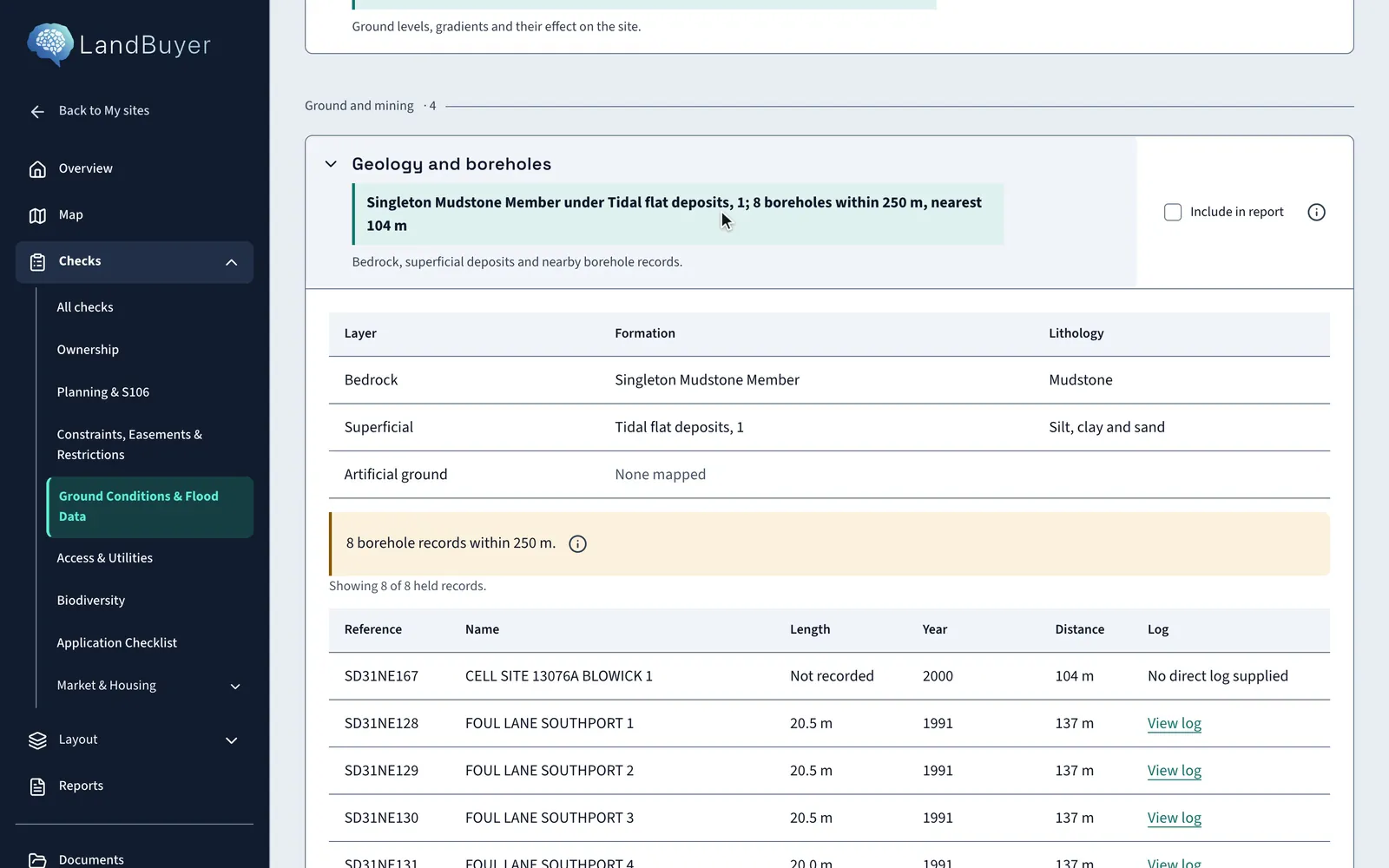
LandBuyer AI reads the mapped bedrock and superficial deposits under a site, lists borehole records within 250 m, and checks coal mining areas and recorded landslides. It adds terrain and levels. An AI insight says how far the evidence goes. On Kew Yard it finds mudstone under tidal flat deposits and eight boreholes nearby.
What it covers
What our geology and borehole check covers
| Item | Source type | What you see |
|---|---|---|
| Bedrock | Geological maps | The bedrock formation under the site |
| Superficial deposits | Geological maps | The deposits above the bedrock, such as tidal flat deposits |
| Artificial ground | Geological maps | Made ground and fill mapped on the site, or none mapped |
| Borehole records | Borehole archive | Boreholes within 250 m with their distance, so you can scope ground investigation |
| Coal mining | Mining reporting areas | Whether the site sits inside a coal mining high risk or reporting area |
| Landslides | Recorded landslide surveys | Recorded landslides within 500 m of the boundary |
| Terrain and levels | Terrain model | The gradient, the fall across the site and its direction |
| Landforms and workings | Mapped landforms | Landforms within 250 m, and any mining or workings among them |
| Ground investigation scope | Desk study coverage | The desk study topics screened and the reliance-grade searches to order at decision stage |
Official guidance BGS GeoIndex onshoreCoal mining information and data
On Kew Yard
Mudstone, tidal deposits and a shaft nearby
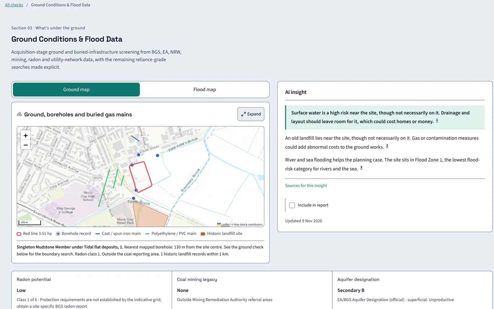
Kew Yard sits on mudstone under tidal flat deposits. A ventilation shaft 178 m away points to ground investigation first.
AI insight
Eight nearby borehole records exist alongside two mapped geology layers. They are indicative and off-site, so they help scope ground investigation but do not establish ground conditions across the site.
In the report
Geology goes into the report with its sources
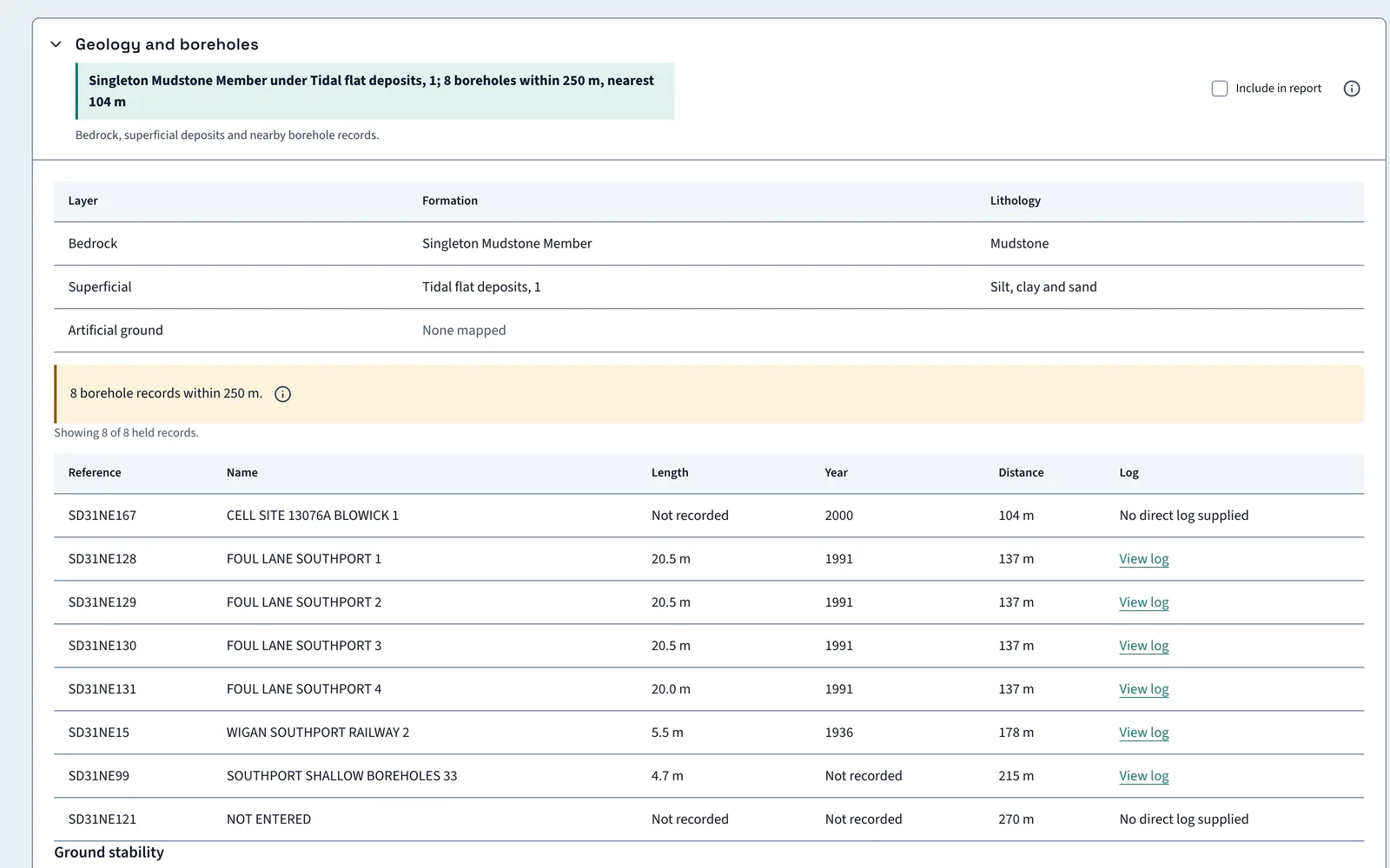
Tick Include in report on the geology and boreholes card. The formation, the borehole count and the AI reading go into the site assessment, so the technical team can scope ground investigation.
FAQ
Borehole, geology and mining questions
Short answers to what land teams ask us before a demo.
How do I find borehole records near a site?
LandBuyer AI lists borehole records within 250 m of the site with the distance to each. Kew Yard has 8, the nearest 104 m away. They are off-site records, so they scope investigation but do not replace it.
Does it include a mining search?
It checks coal mining high risk and reporting areas and shows the result on its own card. Kew Yard sits outside them. Reliance-grade searches are listed for the decision stage.
Is landslide risk covered?
It lists recorded landslide surveys within 500 m of the boundary. Kew Yard has none. A clear result is a screen, not a stability assessment.
What is the difference between geology and ground conditions?
This page covers rock and soil, boreholes, mining and landslides. The contaminated land and radon check covers landfill, radon and aquifers. Both sit on one screen in LandBuyer AI.
Are BGS borehole records free?
Yes. BGS GeoIndex gives free online access to over a million scanned onshore borehole and shaft records, which you can view, print and download. A small number of confidential records need a request to BGS.
What is a coal mining search?
A paid report on recorded coal mining near a property, from the Mining Remediation Authority, formerly the Coal Authority. LandBuyer AI flags coal mining reporting areas first and lists the formal search for the decision stage.
Keep exploring