
LandBuyer AI
The land data behind every check
Title, planning, constraints, ground, flood, utilities and market data, read against your red line and cited in every report.
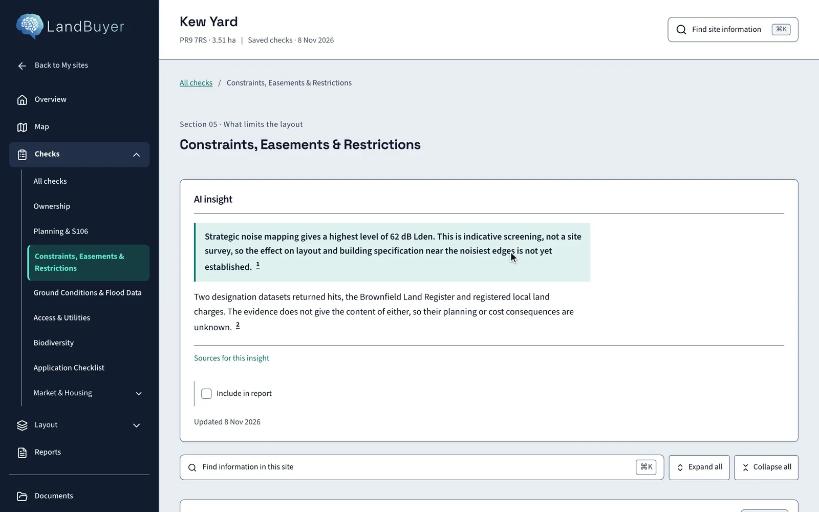
In short
LandBuyer AI reads title registers, planning records, local plan policy, mapped designations, flood maps, ground and borehole records, utility networks, ecological designations, household data and residential market data for the land inside your red line. Every finding carries its source and the date it was read, so your committee can trace it.
Sources
Land data sources for each check
-
Title and ownership
Official copy title registers, title plans and title parcel boundaries.
Learn more -
Planning
Planning applications and decisions, local plan policy and developer agreements.
Learn more -
Constraints
Mapped designations, local land charges, easements and covenants.
Learn more -
Flood and water
Flood maps for planning, surface water risk and watercourses.
Learn more -
Ground
Bedrock, superficial deposits, boreholes, mining and historic landfill.
Learn more -
Utilities and access
Utility operators, nearby apparatus, frontage roads and rights of way.
Learn more -
Ecology
Ecological designations and mapped ground cover for biodiversity net gain.
Learn more -
Market and households
Residential schemes nearby, household tenure and housing providers.
Learn more
Chosen with land teams
Sources picked for the land decision
We chose our sources with land teams in the industry and hold agreements with commercial data providers. Public records come straight from the bodies that publish them.
- Official copy registers and title plans for ownership
- Council records for planning, S106 and local land charges
- Published flood, ground and ecological datasets
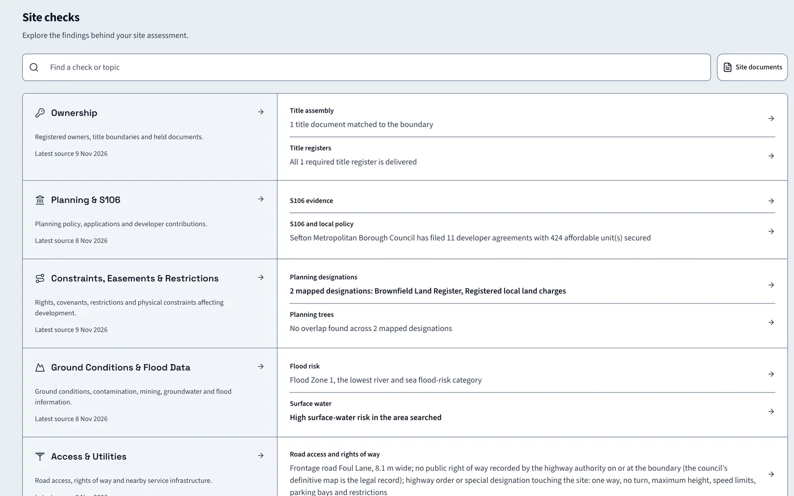
Cited, not summarised away
A source and a date beside every finding
Each AI insight carries numbered citations to the evidence behind it. Open a citation to see the record, the dataset and when it was read.
- Numbered citations on every AI insight
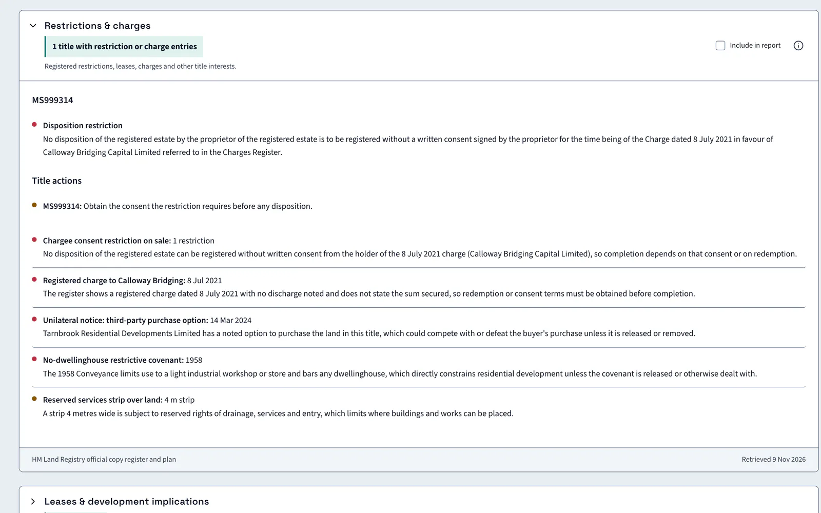
- Original register wording kept for your solicitor
- Source and date printed in every report
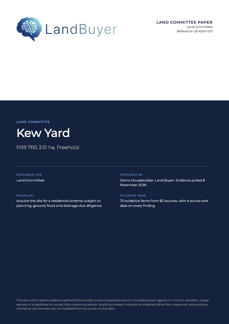
In the report
Your committee sees where each fact came from
The report builder carries the sources into the paper. The Kew Yard land committee paper lists 70 evidence items from 82 sources.
FAQ
Questions about data sources
Short answers to what land teams ask us before a demo.
Where does LandBuyer AI get its data?
From title registers, council planning records, published flood, ground and ecological datasets, utility operators and residential market data. We chose them with land teams and hold agreements with commercial data providers.
How current is the data?
Every check shows the date its source was last read, and you can run Update checks to collect newer information for a site. Reports print the source date beside each finding.
Does it cover Wales as well as England?
Yes. LandBuyer AI covers sites in England and Wales, and the flood check reads the flood maps for planning published for both.
Do some records cost extra?
Yes. Title documents, owner reveals and planning application records use credits. Everything else is part of your seat. See the credits page for how that works.
Keep exploring