
Checks
Contaminated land and radon check for any site
Screen the site for contaminated land, historic landfill, ground gas, radon and aquifers, and see what to investigate first.
In short
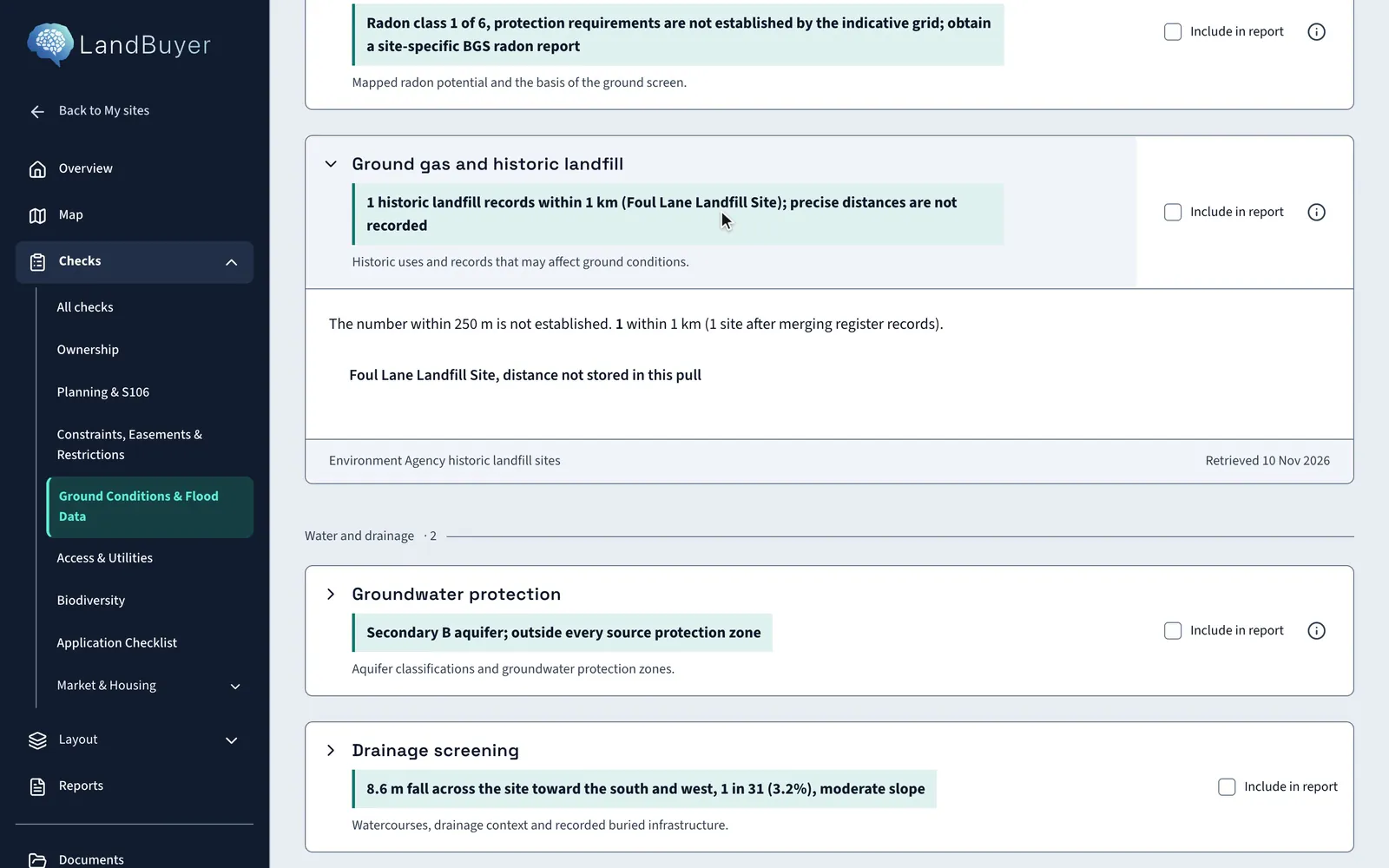
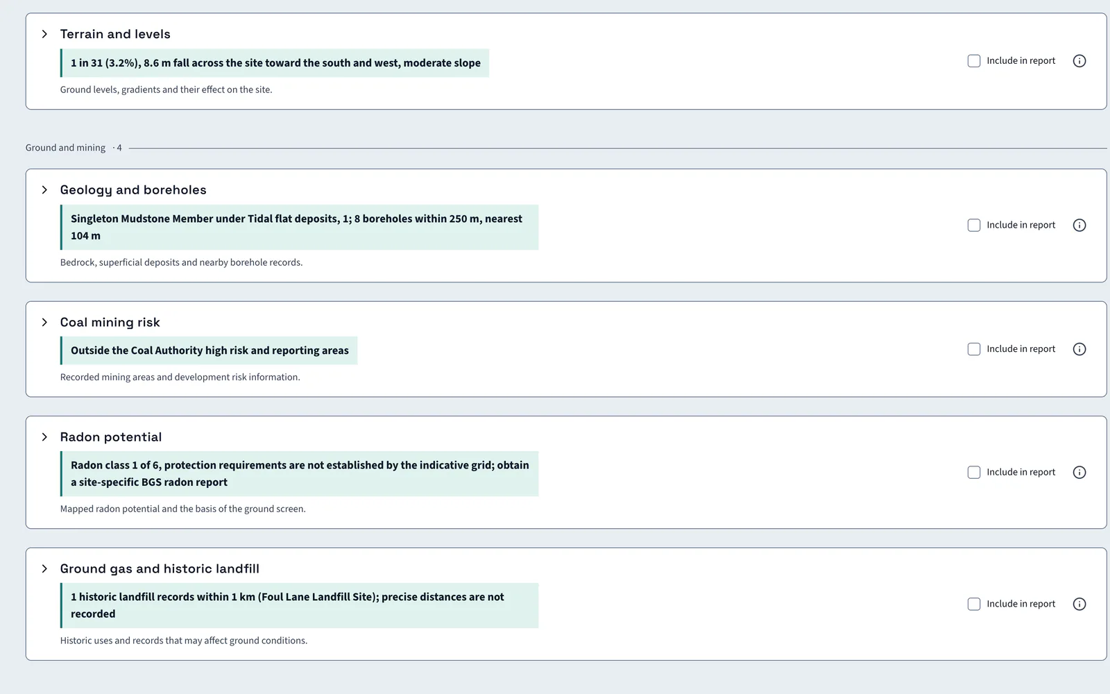
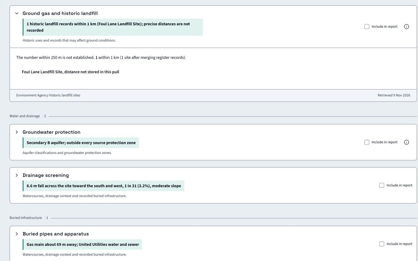
LandBuyer AI screens a site for historic landfill records, ground gas, radon potential and aquifer class, then flags former industrial use for the application checklist. An AI insight says how far each record goes. On Kew Yard it finds one historic landfill record within 1 km and radon class 1 of 6.
What it covers
What our contaminated land and radon check covers
| Item | Source type | What you see |
|---|---|---|
| Historic landfill | Historic landfill site records | Landfill records within 1 km, with site names and whether distances are held |
| Ground gas | Landfill and ground records | Whether a nearby record points to gas or contamination cost, with its distance and extent |
| Radon potential | Radon potential grid | The radon class from 1 to 6 and the protection requirements |
| Aquifer designation | Aquifer maps | The aquifer designation for the site |
| Groundwater protection | Source protection zone maps | Whether the site sits inside a groundwater source protection zone |
| Neighbouring land uses | Mapped land use | Sites within 750 m by type, and any hazardous site within 250 m |
| Former industrial use | Application checklist screening | The contamination assessment flagged for former industrial or landfill use nearby |
| Desk study coverage | Desk study checklist | The desk study topics screened and the reliance-grade searches to order at decision stage |
Official guidance UK radon mapPart 2A, Environmental Protection Act 1990Land contamination technical guidance
On Kew Yard
One landfill record, radon at class 1
Kew Yard has one historic landfill record within 1 km and low radon potential.
AI insight
One historic-landfill feature lies within the search radius. That is a nearby record, not an on-site intersection, so any gas or contamination cost depends on its distance and extent, which are not established here.
In the report
Ground findings go into the report
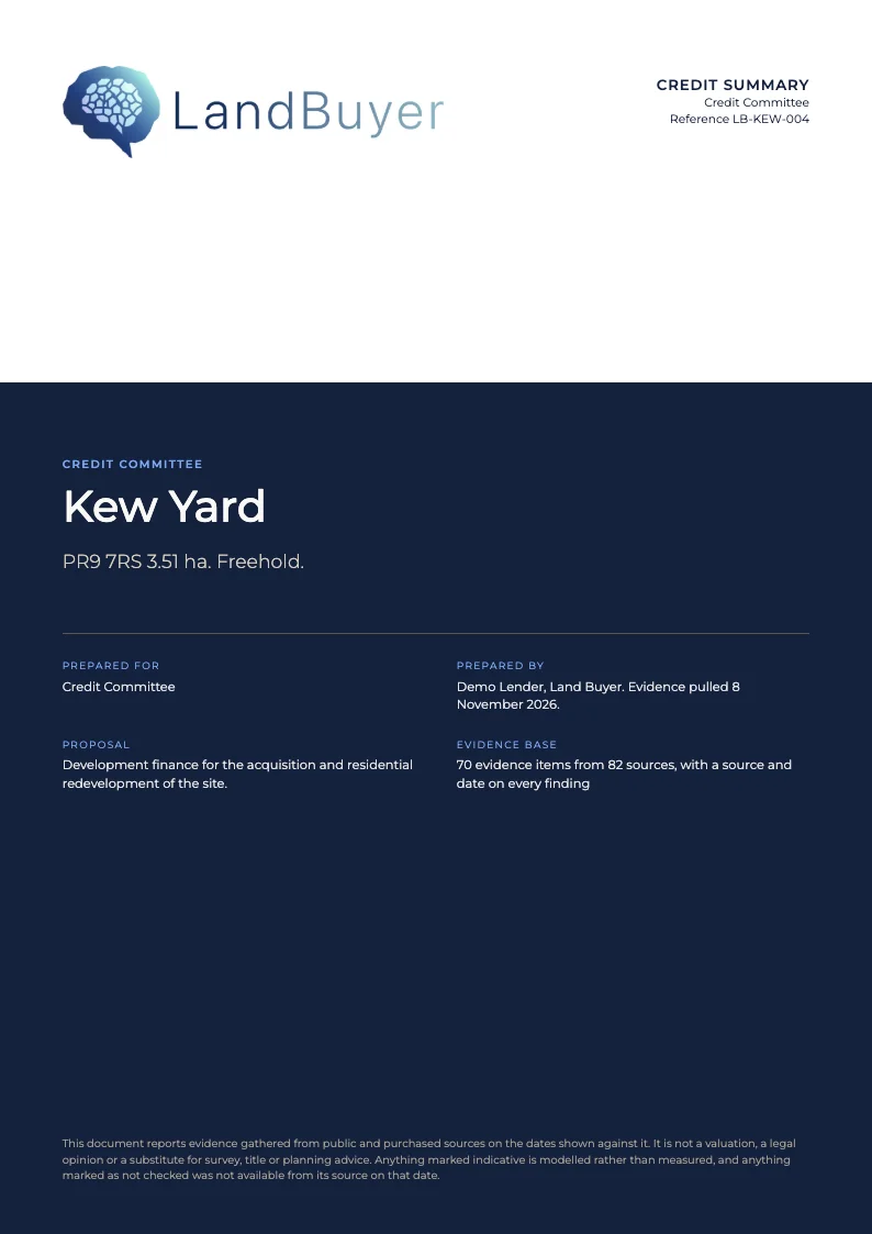
Tick Include in report on the landfill and radon cards. The records, their distance and the AI reading go into the credit summary for the credit committee, with the source date beside each.
FAQ
Contaminated land and radon questions
Short answers to what land teams ask us before a demo.
What does the ground conditions check cover?
It screens historic landfill records within 1 km, ground gas, radon potential, aquifer class and nearby land uses. It then flags former industrial use for the application checklist. It is a desk screen that scopes ground investigation.
Is there a radon map?
Yes. The radon card gives the class from 1 to 6 and the protection requirements. Kew Yard is class 1 of 6, and the card points to a site-specific radon report for confirmation.
Does a landfill record mean the site is contaminated?
No. A landfill record within 1 km is a nearby record, not an on-site intersection. Any gas or contamination cost depends on its distance and extent, which ground investigation establishes.
How is this different from the geology page?
The geology and borehole check covers bedrock, boreholes, mining and landslides. Ground conditions covers landfill, radon and aquifers. Both sit on one screen in LandBuyer AI.
What is a radon affected area?
An area where at least 1% of homes are likely to be at or above the radon action level. The UK radon map shades each area by that chance, from under 1 in 100 to over 1 in 3.
Keep exploring