
Who it is for
Land acquisition software for land teams
Screen each site the same way and send your land and technical team a plain site assessment the same day.
In short
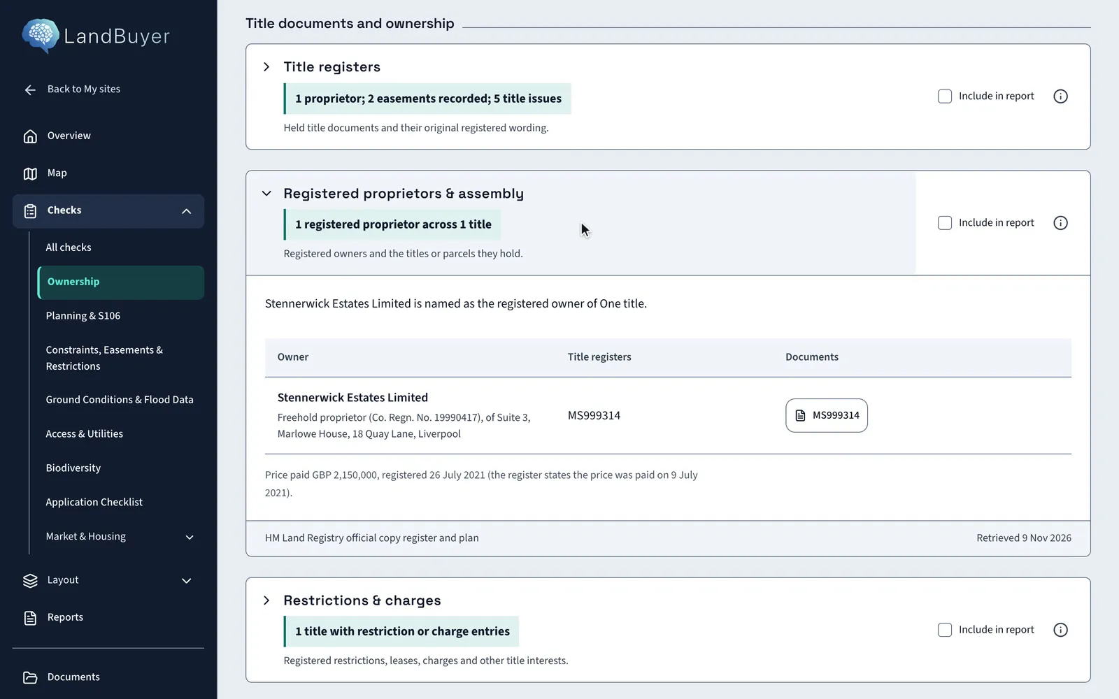
LandBuyer AI gives land acquisition teams one way to screen every site. Draw the red line and it checks title, easements, access, utilities, ground and flood, with an AI insight on each. The team works from the same evidence, and a plain site assessment for the land and technical team is drafted from it.
The decision
Decide which sites deserve an offer
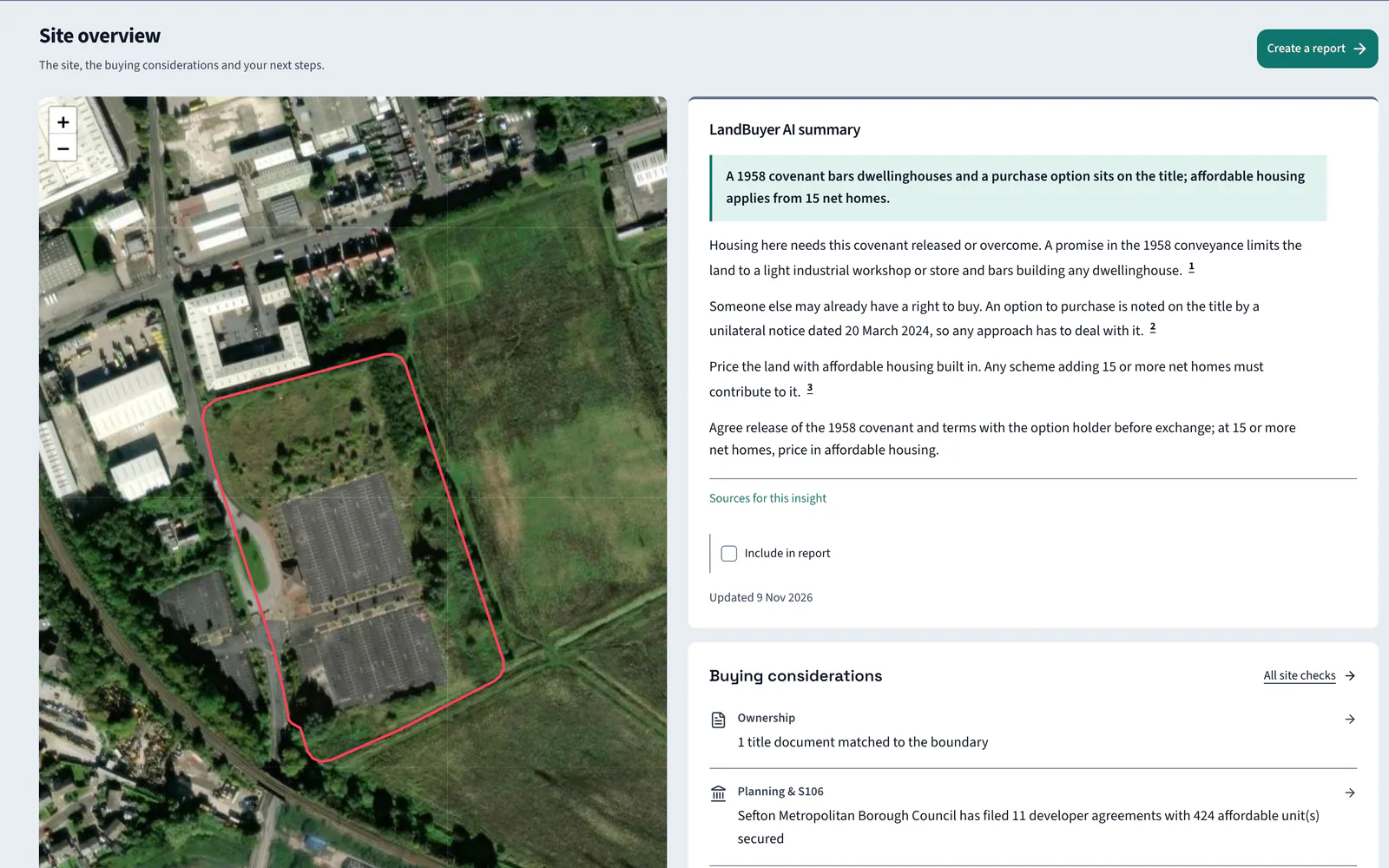
The pipeline is full and time is short. On Kew Yard the overview leads with a covenant that bars dwellings, before anyone spends on reports, so the team spends its time on sites that can work.
The checks that matter
Checks land acquisition teams rely on
-
Ownership
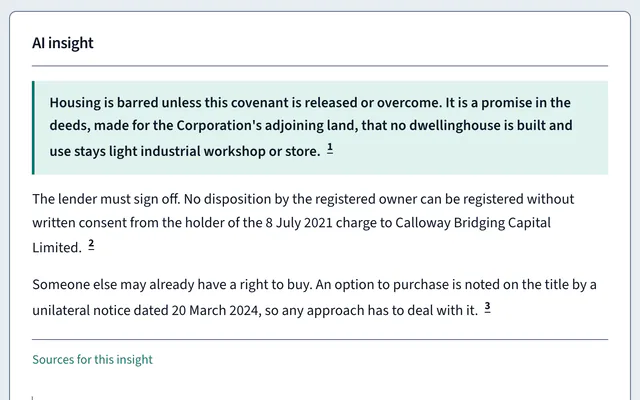
One corporate proprietor, but a covenant prohibits any dwellinghouse.
-
Easements and restrictions
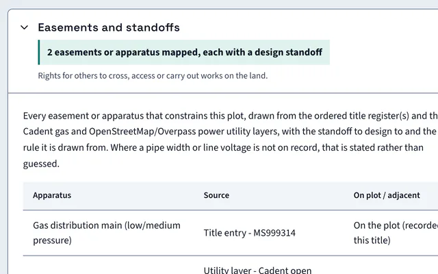
A 4 metre drainage and services strip, reserved by a 2021 transfer, fixes where homes can go.
-
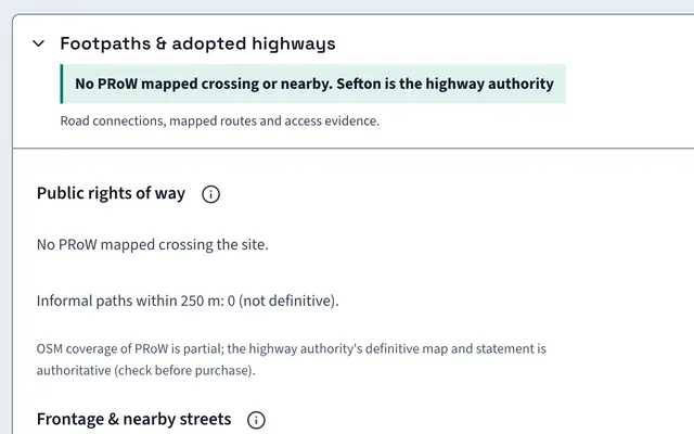
Access
The frontage road is 8.1 m wide, with no public right of way recorded at the boundary. The layout is drawn from the nominated entrance.
-
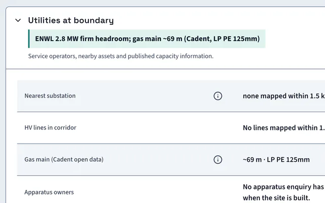
Utilities
The operators for electricity, gas and water are named for the site, with nearby apparatus.
-
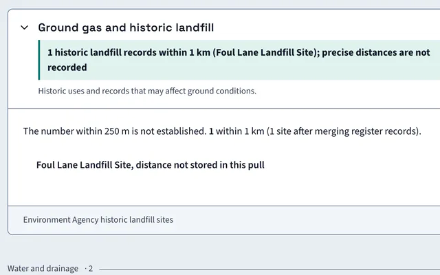
Ground conditions
One historic landfill feature lies within the search radius.
-
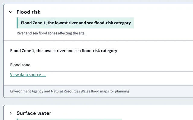
Flood data
Flood Zone 1, with high surface water risk recorded in the search area.
The report
A site assessment for the land and technical team
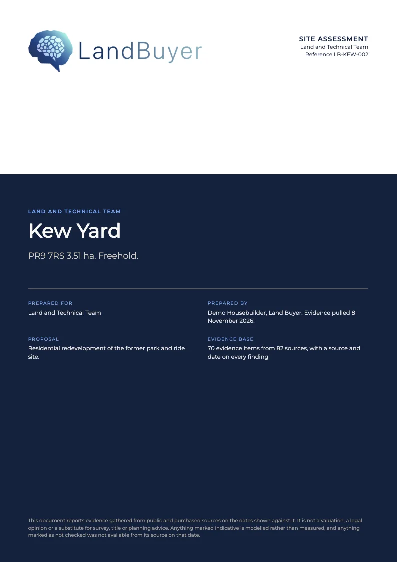
A plain summary of the saved checks, the site risks and the questions to answer before an offer. The Kew Yard site assessment runs to 11 pages.
FAQ
Questions from land acquisition teams
Short answers to what land teams ask us before a demo.
Can the whole land team work on the same site?
Yes. Team activity keeps notes, files and mentions on each site, so everyone works from the same evidence and sees what has been decided.
How fast can we screen a site?
Draw or upload the red line and the checks run. The AI insights, the layout and the site score are ready to read the same day.
What does the site assessment cover?
The saved checks, the site risks and the questions to answer before an offer, written in plain English for the land and technical team. A fuller land committee paper can be drafted from the same evidence when a site moves forward.
Can we draw or upload the red line?
Yes. Draw the boundary on the map or upload it, and every check runs against it. The Kew Yard red line covers 3.51 ha of brownfield land in Sefton.
Keep exploring