
Checks
Planning constraints checker for any site
See which designations and physical limits touch the red line, and which ones drive the layout, before you spend on design.
In short
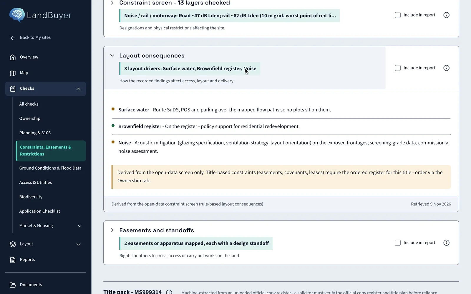
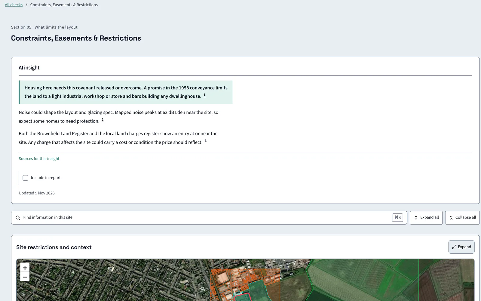
LandBuyer AI screens the red line against mapped designations and physical constraints: green belt, heritage, protected trees, buildings, railway, noise and neighbouring land use. Each result carries its distance, and an AI insight names what limits the layout. On Kew Yard it finds two designation hits and a main line railway 29 m from the boundary.
What it covers
What our planning constraints checker covers
| Item | Source type | What you see |
|---|---|---|
| Planning designations | Designation datasets and land charges registers | Green belt, conservation area, national park and the brownfield land register, each marked hit or clear |
| Heritage and nature designations | Heritage and nature designation datasets | Listed buildings, scheduled monuments and protected nature sites, each marked hit or clear |
| Protected trees | Tree preservation records | Tree preservation orders on or within 30 m of the site |
| Buildings on and beside the plot | Mapped buildings | Buildings on the plot and within 50 m, and the share of the red line built on |
| Railway proximity | Mapped rail network | The distance from the boundary to the nearest line |
| Neighbouring sites | Mapped land use | Typed sites within 750 m, and any hazardous site within 250 m |
| Structures | Mapped structures | Structures within 250 m, and the distance to the nearest transmission line |
| Noise | Strategic noise maps | Road and rail noise in dB Lden at the worst point of the red line |
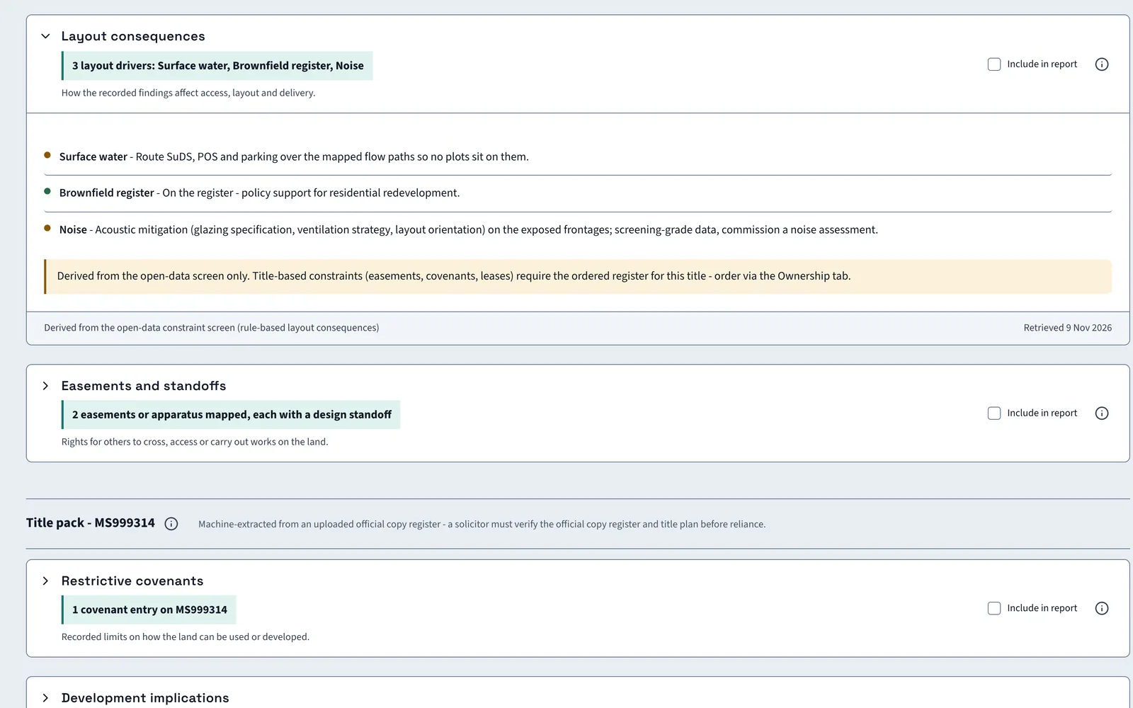
| Layout consequences | AI reading of the layers above | The drivers that shape access, layout and delivery, ranked |
Official guidance MAGIC map from DefraNational Planning Policy Framework
On Kew Yard
Thirteen layers, three layout drivers
Kew Yard has no tree preservation orders and no buildings on the plot. A main line runs 29 m from the boundary.
AI insight
Strategic noise mapping gives a highest level of 62 dB Lden. This is indicative screening, not a site survey. Two designation datasets returned hits, the Brownfield Land Register and registered local land charges.
In the report
Constraints go into the report with distances
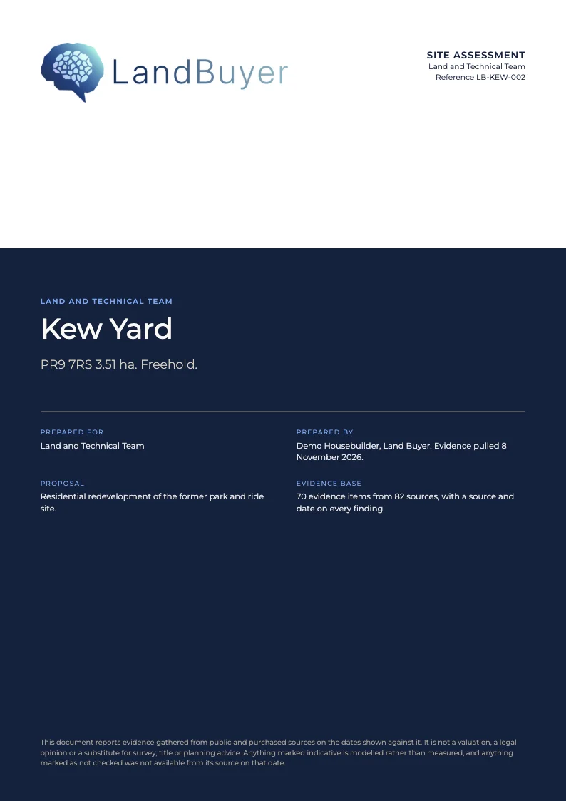
Tick Include in report on any constraint card. The finding, its distance and the AI reading go into the site assessment for the land and technical team, with a source and date beside each.
FAQ
Planning constraints questions
Short answers to what land teams ask us before a demo.
What does a planning constraints check cover?
Designations such as green belt, conservation areas and national parks, protected trees, nearby buildings, the railway, neighbouring land uses and noise. Kew Yard is screened across 13 layers, and each result carries its distance where one applies.
How is this different from a constraints plan?
This check tests and measures each constraint on the site. The constraints plan is a separate drawn sheet of the same site, with a CAD download.
Does it show noise?
Yes. Strategic road and rail noise is shown in dB Lden at the worst point of the red line. On Kew Yard road noise is about 47 dB and rail noise about 62 dB.
Are easements and covenants on the same screen?
Yes. Easements and standoffs and the restrictive covenants from the title sit below the constraints. They have their own page, easements and restrictions.
Keep exploring